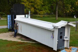
Tour our Bird Banding and Research Facilities
Avian Perception of Glass at PARC
Millions of birds die every year flying into windows, because they can’t tell reflections from trees, plants, and sky. Most of these windows are on houses. In partnership with the American Bird Conservancy, PARC is studying bird behavior in a specially built flight tunnel (one of only two of its kind in the world).
The flight tunnel is completely safe and there is no chance of birds actually striking a pane of glass. A variety of commercially available windows are undergoing trials to determine which treatments best alleviate the possibility of bird strikes. Each bird makes one flight down the tunnel and is immediately released.
Visit our Avian Perception of Glass at PARC page to learn more.
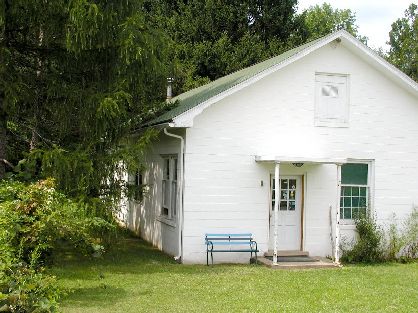
Bird Banding Station
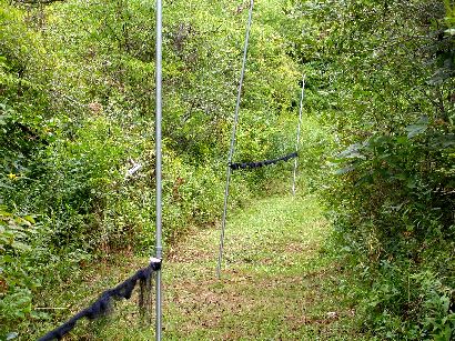
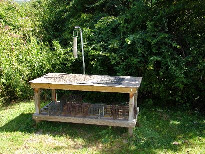
In season, hundreds of birds are caught each day in PARC’s 70, 12 meter long mist nets. Captured birds are carefully removed throughout the day and returned to the banding lab for processing.
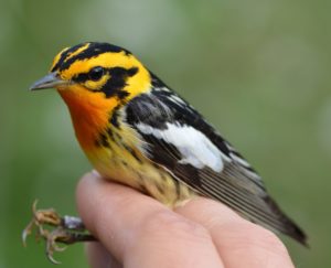
Birds are identified to species, banded, and information about their age, sex, wing length, fat deposits, and body mass is recorded. Studies of molt in birds is of particular interest at PARC, so detailed notes regarding the pattern, timing, and sequence of molt is also often recorded. The banding and data collection process takes less than a minute, after which most birds are promptly released through a small sliding door in the window next to the banding desk. Visit our Bird Banding page to learn more. Researchers interested in collaborations or access to banding data should Contact PARC for more information.
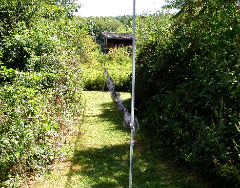
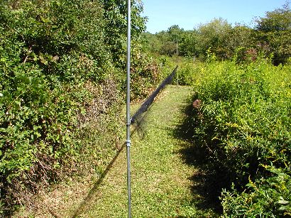
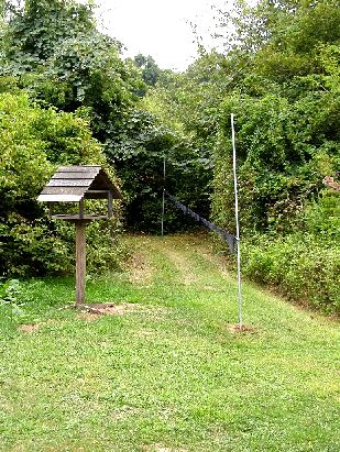
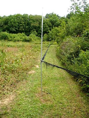
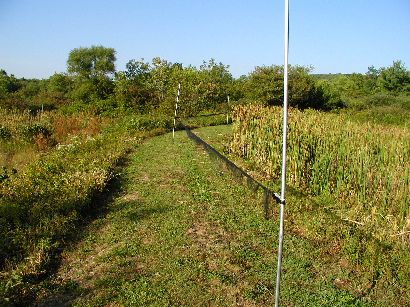
Photo Tour of Net Lanes
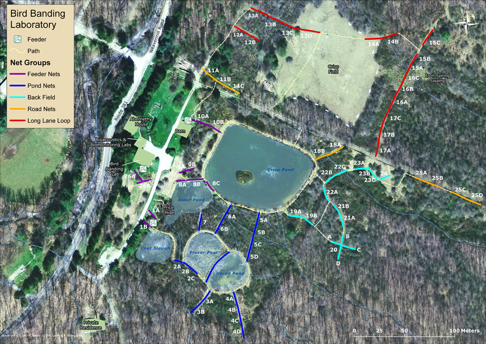
Feeder Nets
10 Nets total, in 5 sets of 1 to 3 Nets
The Feeder Nets are all situated very close to our Banding Lab. They are distinguished from the other nets because all are in proximity to feeders and feeding tables that are baited with seed daily from late fall through early spring. These are the only of our nets that are left up after fall banding and used on milder winter days instead of (or along with) a number of wire Potter-type traps.
Habitats in the vicinity of the Feeder Nets are varied and serve to attract a lot of non-feeder birds. Nets 1A, 1B, 10A, and 10B are located very near or alongside our complex of small to medium-sized marshy ponds (or the streams draining them). Dominant shrubs, therefore, include willows, alders, and silky dogwood.
Feeder Nets 26A and 26B are located immediately to the southwest of the Banding Lab in a dense thicket of honeysuckle, gray-stemmed dogwood and blackberries, flanked by two mature Japanese larch trees.
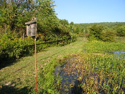
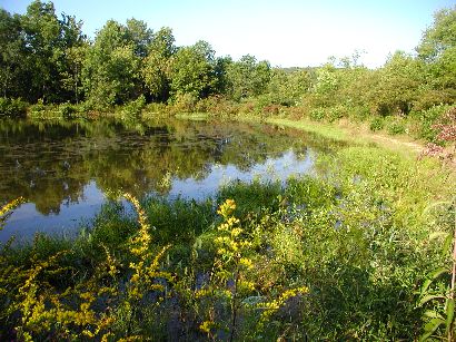
The small building is a hide overlooking Alder Pond
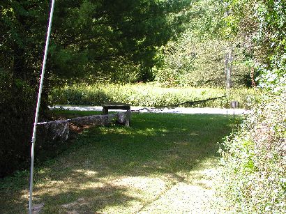
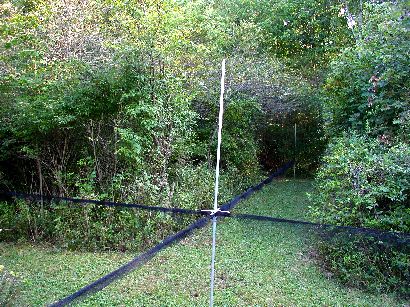
This net is directly across from the Banding Lab and extends to the bank of Crisp Pond.
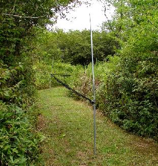
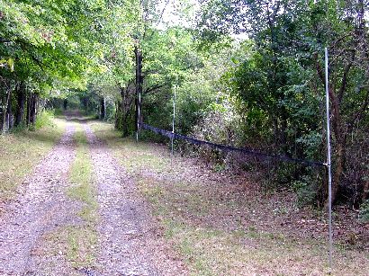
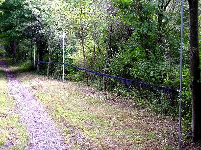
These nets are set on the dike of Alder Pond.
Pond Nets
18 nets total, in ten sets of one to three and a half nets
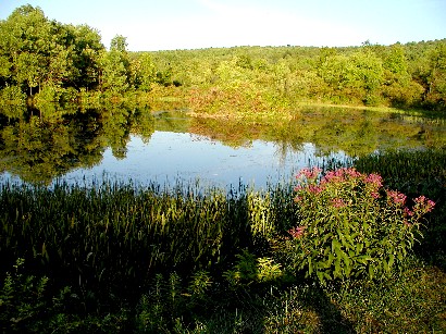
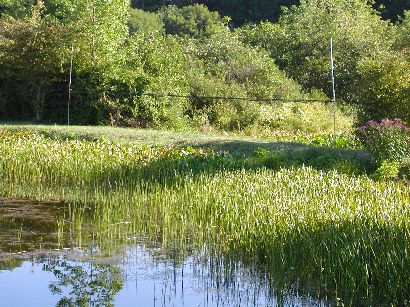
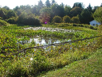
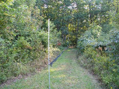
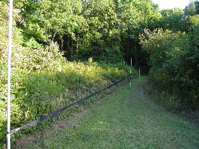
The Pond Nets take advantage of edges and wet areas associated with the construction at Powdermill of a variety of small marshy ponds, beginning in the early 1960s (Crisp Pond was the first of these, is the largest–about 0.5 hectares–and has the most open water). The majority of nets in this set are within or in close proximity to wetlands of various kinds. As a result, dominant shrubs include willows, alders, and silky dogwood, but a variety of invasive upland species also are frequent in this area, including honeysuckle and multiflora rose. In addition, Pond Nets 3A & 3B and 4A-4D extend to the very edge of extensive mature deciduous forest.
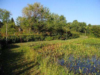
Set across the bank between Plover Pool, on the left, and Heron Pond, on the right.
Managed forest edge habitat dominated by shrubs like alder and willow, at the far end of Net 3B, and grape, multiflora rose, and silky dogwood; invading trees are mostly black locust and ash.
Like the previous net set, this net lane is situated within an extensively managed upland forest edge habitat. Net 4D, the far net, is a half-length, i.e., 6M net.
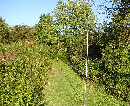
This net lane traverses a willow-dominated wet shrub-scrub habitat that requires little or no active management to remove taller trees and shrubs.
Net 5D, the near net, is a another half-length net.
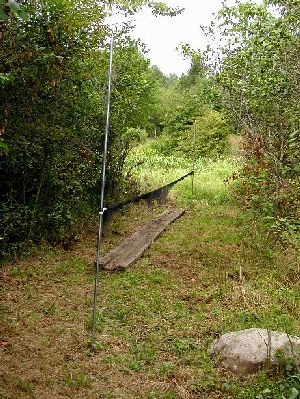
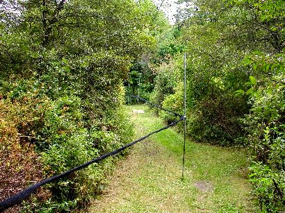
Extends to the southern edge of Alder Pond.
Backfield Nets
15 Nets total, in 7 sets of one to four nets.
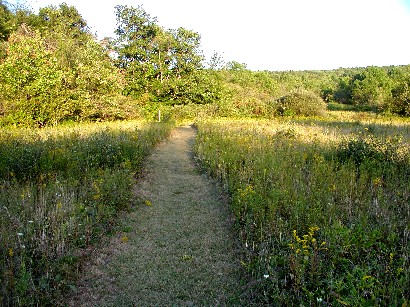
These nets are situated east of Crisp Pond. The majority of the nets (Nets 19-21, & 24) are in upland situations, specifically, late successional old field habitat with scattered taller trees. This area is maintained at a the mature shrub and low sapling stage by periodic cutting of taller trees. Immediately to the south of the Back Field Nets is an extensive area of mature second growth deciduous forest.
Dominant shrub species in the upland sites within the Back Field Net area include multiflora rose, Morrow’s honeysuckle, blackhaw viburnum, autumn olive, gray-stemmed dogwood; characteristic trees include hawthorn, ash, red maple, black cherry, wild crabapple, and flowering dogwood.
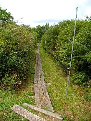
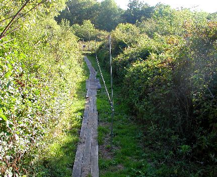
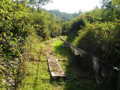
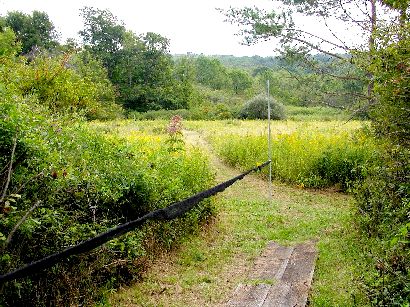
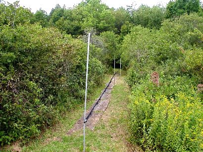
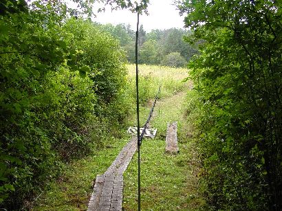
Nets 22 & 23 are situated within or at the edge of seasonally flooded shrub wetland habitats that are dominated by willow, blackhaw viburnum, and silky dogwood (note boardwalks associated with these nets in the photos below).
Strip Mine Road Nets
9 Nets total, in 4 sets of 2 to 3 nets
The Strip Mine Road Nets are mostly parallel to a gravel service road that historically was a farm lane and later provided access to small strip mines that were begun in the 1940s. Mining activity was halted in the early 1950s after the land was purchased for the purpose of donating it to Carnegie Museum as one of several original tracts of land (totaling over 400 hectares) for establishing its field research station, Powdermill Nature Reserve, in 1956. The Reserve has doubled in size since then.
Strip Mine Road Nets 11A-C and 18A-B are in association with small riparian areas, and so have shrubs like willow and silky dogwood in association with portions of them, but Strip Mine Road Nets 25A-D are in entirely upland situations. These net lanes are located the edges of experimental “game food plots” planted for wildlife enhancement shortly after the Reserve was established in the mid-1950s. A number of the fruiting shrubs originally introduced into these areas along the Strip Mine Road, including Morrow’s honeysuckle and autumn olive, have naturalized extensively in the successional habitats on the Reserve (including virtually all of the banding area).
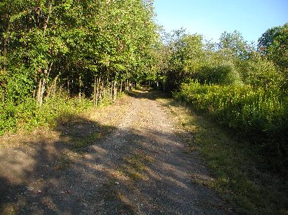
Strip Mine Road Nets 11A, 11B & 11C are to the left and roughly parallel with the bottom portion of the road.
These nets are roughly perpendicular to the south side of the Strip Mine Road. Net 18A is dominated by multiflora rose, while Net 18B is in more of a wetland, extending almost to the bank of Crisp Pond, and dominated by willows.
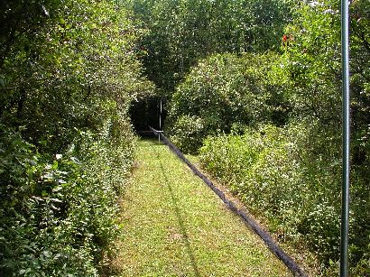
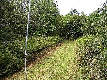
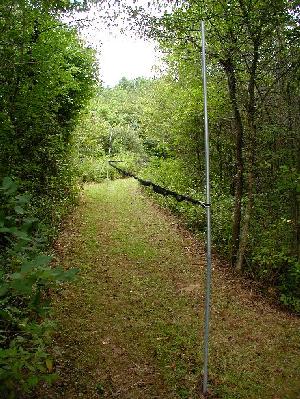
Long Lane Loop
17 Nets total, in 4 sets of 1 to 8 nets.
Net lanes 12 and 13 are both situated north of Crisp Pond alongside or across the narrow sluggish stream that drains the pond (two of our Feeder Nets and three of the Strip Mine Road Nets also are situated across this same small riparian strip).
Because both net lanes are in permanently wet areas, little maintenance is required to keep the associated habitats at the shrub-scrub stage (Net 13A is in a more upland situation and scattered trees near that net are mostly black cherry and wild crabapple). Dominant shrubs associated with these nets are willows and alders. Nets 13D and 14A are at the edge of a large open old field that is mowed annually. Net 14B crosses the small stream draining Iron Spring Swamp and is surrounded by willows, arrow-wood, and blackberries but also is near a mature forest edge.
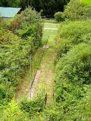
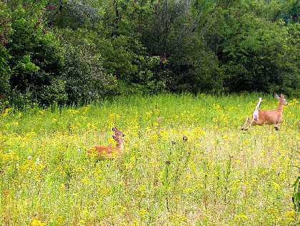
The Long Lane Nets contain just that – our longest set of linked nets (15A-C, 16A-C & 17A-C). Originally, ten nets were connected end-to-end, but we were forced to create a gap between Nets 15B & 15C in order to accommodate a heavily used deer path (the alternative being the repeated destruction and costly replacement of any net in position number 15C!).
The upper end of the Long Lane Net set (Nets 17A-C, 16A) is in an upland late successional habitat dominated by shrubs like honeysuckle, multiflora rose, and blackhaw viburnum; it is quickly invaded by a variety of trees, including ash, red maple, black cherry, tulip poplar, and cucumber magnolia, all of which are periodically removed.
Nets 16B, 16C & 15A cross a small sweet flag/cattail marsh (Iron Spring Swamp) that is fringed by wetland shrubs like alder, willow, and arrow-wood viburnum. Nets 15B & 15C are in a fairly thick stand of hawthorn and wild crabapple.
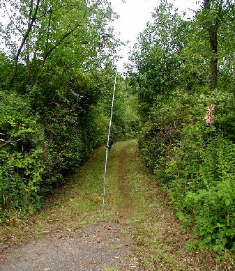
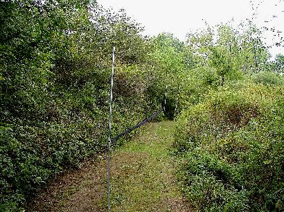
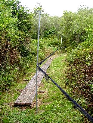
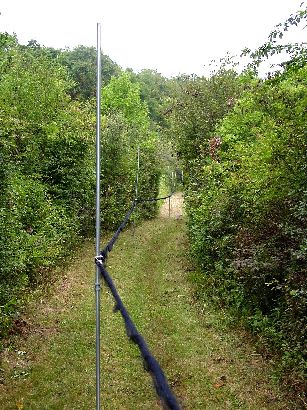
The first two of eight linked nets.
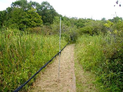
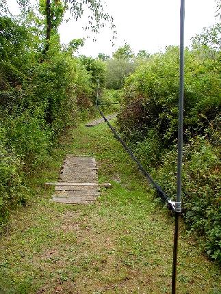
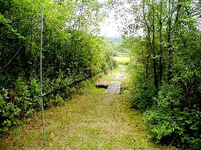
Stretching across Iron Spring Swamp.